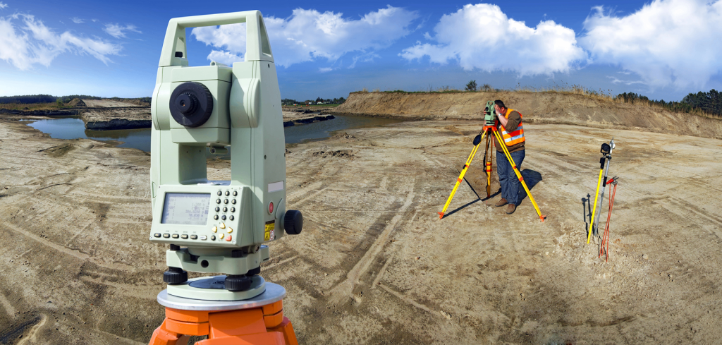
Miles Land Surveying provides precise land measurement and mapping services for projects of any scale, from residential properties to large commercial sites. Using advanced drone technology and high-definition 3D LiDAR, we deliver accurate boundary surveys, topographic mapping, and detailed construction staking. Our expertise ensures dependable data for planning, development, and detailed historical restoration projects.